Day 2 - McCargoe Cove to Hatchet Lake - The Interior
Category: Trips and Places | Subcategory: Isle Royale
Tags: Backpacking, Minong Ridge, Wildflowers, Ecology, Copper Mining History, Wildlife Encounters, Remote Lakes
Published: 2026-06-24
Day 2
The clearing of the skies the evening before continued into the morning. Light crept through the pillars of the shelter. We woke at McCargoe Cove Campground on Isle Royale, placed on a long inlet leading to Lake Superior on the northern side of the Island.
We rolled up our sleeping bags, packed our gear and went down to the dock to enjoy the beauty. We ate breakfast and filtered our water. We sought the sun and the stillness. We looked around at the pines and rocks, no birds out just yet.
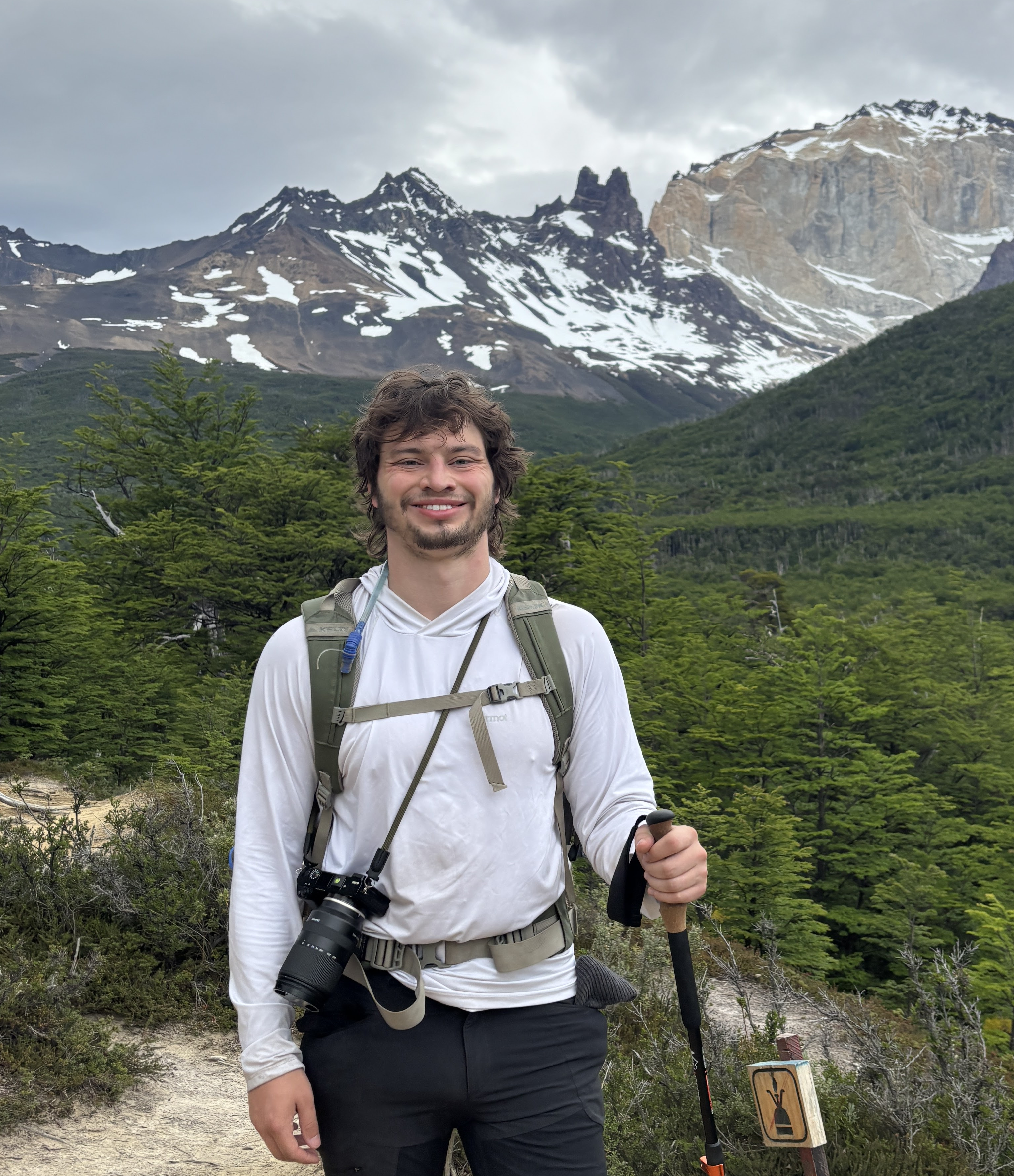
At the dock, there were students gathered, chatting, and filtering water. We noticed that everyone else at camp had pump water filters; we had a gravity filter. After just one day, our water filter’s flow had slowed significantly. We topped off our water, clipped on our backpacks, and continued southwest into the wilderness.


The day’s plan consisted of continuing south on the Minong Ridge. We left camp going back into the woods. The woods this morning were brighter, more diffuse, and younger than the day before. The constant competition between field and forest ecosystems was at play. The trail was also noticeably drier, a dirt path, with some mud, though most dry.
The bright, sunny day made the temperature warm as we traversed between sunny fields, and deciduous forests. Fifteen minutes after camp, our first stop was to the second major mining operation noted on the island. We walked down a spur trail into a flatland and found the old copper pits. Beside the pits were rusted out tools and equipment.


Our morning flew by as we rode the spine of the ridge going up to see views of untouched ponds and waterways, royal blue Superior, and towering pines as small as needles, down the vertebrae to the forest cover. Growing up in the midwest, I felt blessed that there was a place where I could see how our land once was, and I could look out to a wild country with no power lines or concrete. I smelled pine and Superior.
The morning was an odyssey, like traveling the length of a massive dragon’s spine. After the lumbar of the morning, we hiked through the sacrum down to Todd Harbour Campground. Here similar shacks were adorned between high grasses. We chose to take a brief recess from the mosquitos who had awoken, and have our lunch out on the dock.

The sky was clear with a fringe of clouds on the horizon. The shore was a mosaic of basalt rocks, with the iron-rich rocks glowing red when wetted. We heated our water and rehydrated lentil stew.
While chatting, we heard a far-off motor sound, disrupt the gentle wind. Around the cove came a smaller boat with a rudder and two men aboard. As they came into focus, we noticed diving tanks, dry suits, and a diving helmet aboard. We couldn’t help but notice that the diver had not only a dry suit, but a thick wool sweater underneath to repel Superior’s icy depths. This rekindled the debate in my mind on whether I will brave the water before the end of the trip. We greeted the duo as they went ashore, hurrying to claim a prized wooden shelter, before returning. We learned that the diver was a professor and was documenting the shipwrecks of the park, their current locations, state, and photographing them. We wished them safe travels and continued eating our food.
Checking the time about 1 pm, our attention turned towards our route planning. One option would have us continue all the way to Windigo on the Minong Spine, and then traverse north via the Greenstone Ridge through the island’s interrior. One path had us take a connector trail to the Greenstone that afternoon. We were about a third of the way through the Minong. With the bugs and weight of our packs, we thought we would enjoy our trip more by doing a little less.

Hoisting our packs on, we continued down the shore for a bit longer. We found the junction of the two trails, said goodbye to our hopes of seeing Windigo and the moose enclosure, and took a left.
The left trail felt as if taking a left on a road that was seldom used onto one that was even more seldom used. There were no muddy footprints anymore, and so we treaded carefully through the untrekked forest.


The forest gave way to fields of tall grass, and as we crested a hill we saw a beaver dam. We walked past seeing the beavers work at their craft, and they had been busy. They had built a dam one hundred meters across.

As the path came to the shoreline, I saw thousands of small movements in the water. Looking closer, thousands, literally thousands, of tadpoles swam over, around, and on top of each other.


The connector trail turned out to be a treat with us not only seeing the largest ferns in my life, but also the wonder of thousands of tadpoles experiencing the first days of their life. Energetic, humble, excited, and staying with their kind.
After watching the tad poles, we had a problem. There was no trail. Isle Royale was so far one of the wildest and most honest places I have been to, but there was always a trail. It was often under six inches of mud, or we had to share it with hundreds of mosquitos at a time, but it was there. We decided to walk back about five minutes thinking that we missed where the trail had turned off. We looked at alltrails which showed the trail cut through the flooded area, so we had to try to find a way across. We continued on the side of the pond, down two terraces of smaller dams, and into tall grasses. At some point, the trail turned into a game trail, which turned into no trail and a swamp. We turned around. Walking back up, we unloaded our packs to rest at the dam.
Defeated, we took a minute to stop and think. My eyes stared at the dam, then to the unreachable other side. I could see it, back to the dam, then my eyes started to drift down to meet feet. Then, I noticed a small footprint on the dam. I surely this could not be the way to pass - on the beaver dam, next to water I had no intention of being in. But it was a path. On my first step, my right foot sank into the murky water. I swung my other foot out a couple inches further and found sticks and mud. About halfway across, a beaver thudded her tail on the water, demanding that we get off her dam. Having no objections, I focused putting one foot in front of the other, and, mercilessly, we made it.

After my partner came across, the beavers came to inspect the dam, then inched themselves over to our shore telling us that it was time to leave. We hiked up the hill, and onward. Later at the ranger station in Rock Harbour, we did ask if that’s the right thing to do, and the rangers agreed that was the path. After the ridge, the hike became forested again, as we came around to the low water of surrounding Hatchet Lake.

We rounded the lake, Hatchet Lake, where there was the campground.


The sun was still up when we finished our camp chores. We spent the evening looking out at the gentleness of the lake, spotting eagles, ducks, and, my favorites, the loons with their piercing red eyes. Fatigued and wanting to get to bed before the bugs became worse, we made for our camp and heard the cry of the loons as we slowly dozed to sleep, aware of our remoteness.

Day 2
- From: McCargoe Cove
- To: Hatchet Lake
- Miles: 11.2
By Joshua Zubik