Day 1 - Rock Harbor to McCargoe Cove - Arriving
Category: Trips and Places | Subcategory: Isle Royale
Tags: Backpacking, Isle Royale, Minong Ridge, Lake Superior, Trip Report, Wilderness Travel, National Parks
Published: 2026-06-24
Day 1 - Rock Harbor to McCargoe Cove - Arriving
At 6 a.m., we boarded the Queen IV from Copper Harbor in a haze that let me know that I was being transported into another world. All was silent but the hum of the engine as we sliced through the cold morning. The water was glassy and calm, to my relief. National Geographic magazines were the entertainment for the forty or so passengers. We watched the drizzle on the windows, spent brief moments on deck, passing through the void, thinking about where we were, and the many ships below.

After four hours or so, a dark, verdant line crept up from the horizon. Soon, our captain was commanding the deck hands and navigating through the many above and below rock obstacles threading the boat into the harbor.

We stepped off the boat in the rain greeted by a ranger with a microphone and a crisp hat with its own rain coat. Assembled as a semicircle, the rain was loud on the deck as she went through the rules of the park, Leave No Trace, and animal danger. She proclaimed “Isle Royale is so wild”, and our semicircle responded “How wild is it?” curious, nervous, and eager. She implored that self-reliance is a key part of the park and that help can be days away.

Upon finishing, each backpacking party stood in line as we described our expected itinerary to the ranger, took our permit, and gazed at the outpost one more time, before plunging into the green tunnel.
Meters from the tunnel, I was transported into a land unmarked by humanity. The groomed path eroded into trail. The forest floor, understory, and overstory became energetic with life. We looked at each other and were dazed that this was Michigan. Michigan forests were once home to trees as big as Sequoias. Clear cutting and the continued mismanagement of natural resources has decimated many parts of the state. We had not walked in an old-growth forest, a forest with life in every crease, in Michigan until then. Lichen, fungi, lined the paths as the welcoming party. Alpine and sub-artic lichen covered the rocks, and Old Man’s Bread saying, “Hello” from the trees.

Before getting much further, we learned that we were not the only species using this path. A red fox scurried along, surprised to see us. Curious, it twitched its ear and stared; it did not immediately run, though we did not encourage its acquaintance. It spun around and pattered with its bushy tail down the pathway. Soon realizing we were heading in the same direction, it galloped to the right.
The beginning stages of our trip had us hug the south shoreline. We were warned to stay off the ridges inland, due to lightning in the forecast. We found our rhythm bounding through forest and rocky shore, looking out over the bay to the islands shrouded in mist. The trail was muddy and slippery, the mosquitos were beginning to bite, and everywhere I looked, I found something interesting. I never saw so many shades of green.

We continued on through Three Mile Campground becoming meditative in our footsteps as we settled into our gear. Rock outcropping, and verdant, moist pines bespeckled our hike onward. We trudged through bogs, swamps, and lowlands splashing through standing water. The mud-water solution was relieved by single-file planks that stood defiant, stretching as far as I could view. I stood on the first, wide enough for one boot, but not two, and went forward, through a field of ferns.

This repetition of shore, forest, and plank cycled for the next hour. One particularly long stretch of plank felt as if I lasted ten minutes on a balance beam. We eventually made it to sign posts pointing to old mines. We followed to discover pits in the ground from a hundred years before and rusted equipment. We imagined being a miner a hundred years ago and the toughness of those.

We went on, past Starvation Point, to Daisy Farm Campground. Here a river flowed to Lake Superior, fast and clear. We turned right, inward into the Island, into the bog. I followed the creek for some time, mud getting thicker, the stretches of walking on planks getting longer, before climbing to the first inland lakes. We saw tannin-stained Angleworm Lake below, as the train rounded the northern edge. We went deeper into the island, ascending higher towards the ridges. By this point the trail looked like a long two foot wide mud pit. I laughed out loud at the lunacy of the bright yellow portage signs we saw. Who would bring a canoe here?

We had been going for some hours and many miles at this point. As we climbed, the mud pool began to dry, and the thick forest began to show patches of fields. We were met by a second friend of the day - a red eft. A striking red salamander is unignoreable against a dark brown trail. The little friend was enjoying the rain-washed trail as much as we were. At this point, we realized the rain had stopped.


At this point, I started to feel the fatigue of waking up at 4 a.m. and a good day’s hike, but felt that this was such a long, wonderful day. The forest began to soften. We trudged on through wetlands, making it safely across the island.
We had arrived late afternoon with the northern latitude holding the sun above the horizon just a bit longer than what we were used to. We saw a beautiful cove, blue skies peaking out, and a dock that I knew if I sat on its end, I would not hear a buzzing in my ear. We found a shelter, laid out our wet closes, stretched, and began to filter water on the dock.

On our first day backpacking, we try to bring meats and cheese as opposed to dehydrated foods. We feasted and laughed at the edge of the dock watching the sky become periwinkle and color the field of large-leaved asters.

Day 1
- From: Rock Harbor, Copper Harbor
- To: McCargoe Cove
- Miles: 16.3
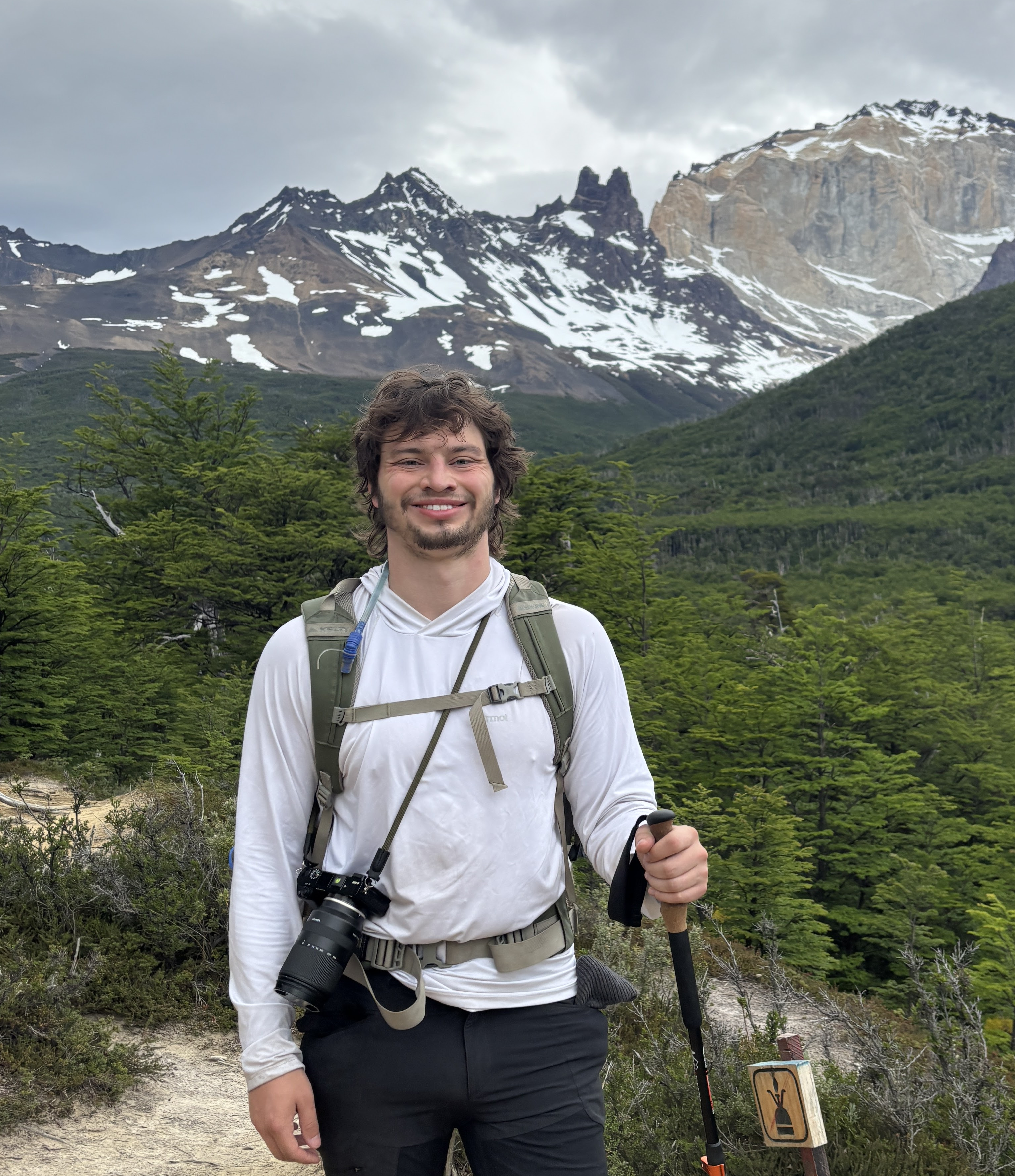
By Joshua Zubik